Report
What Wetland Restoration Protects: Water, Habitat, and Decisions
Restoring a wetland can mean recovering water flows, landforms, and habitats, but its benefits are not automatic. Sources on U.S. coastal marshes and Spanish policy show which functions restoration seeks to recover, how they are measured, and where the limits arise.
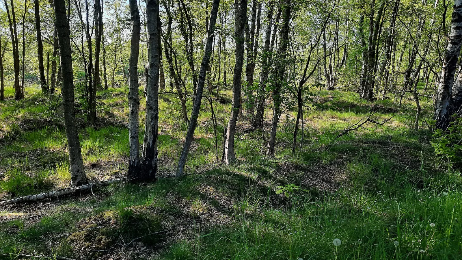
Restoration Is More Than Refilling a Wetland
Wetland restoration does not refer to a single project or promise to return a landscape to an identical past condition. In coastal wetlands, it may aim to rehabilitate damaged areas or rebuild areas that have been transformed; the goal is to recover functions, not to assume they will all return. This distinction matters: the sources describe objectives and methods, as well as ways to monitor progress, but they do not establish a universal outcome.
Water and Terrain Are Part of the Goal
In a coastal marsh, the measures described include restoring water flow, rewetting drained land, and reducing pressures associated with land use. Landforms may also be reshaped with sediment, for example, to raise marshes and mudflats. These interventions affect the physical and hydrological conditions on which the wetland depends; their specific effects depend on the location and must be evaluated there.
Targeted Functions: Coasts, Water Quality, and Carbon
For coastal wetlands, one explanation of their protective value is physical: vegetation and sediments can help stabilize shorelines, dissipate wave energy, and reduce erosion. The sources also identify nutrient and pollutant filtration and carbon retention in sediments and vegetation as possible functions. These are benefits attributed to these ecosystems and goals of restoration, not a guarantee that every project will achieve them.
Habitat Is Not Just One Thing
Restoration also aims to support feeding and breeding grounds for fish and birds. But favoring one type of environment can change conditions for others. In San Francisco Bay, the U.S. Geological Survey describes projects that convert former salt ponds into tidal marshes and notes the challenge of balancing the needs of migratory birds that use open water or tidal flats with those of species that depend on marshes.
What Can Be Observed—and What It Does Not Prove
One example of systematic observation comes from coastal projects in Louisiana funded by the CWPPRA program. The monitoring described by the USGS compares aerial photographs taken before and after the work and classifies land into two categories: land and water; it also uses reference areas. This measure makes it possible to analyze changes in the land-to-water ratio, but by itself it does not demonstrate improvements in biodiversity, water quality, or flood protection.
A Measurement With Its Own Limits
The Louisiana method shows why measurement is part of restoration. Floating aquatic vegetation can be mistaken for emergent marsh; tides and wind can also alter how inundation appears in images. The USGS indicates that other images can help verify conditions on different dates. This is a methodological point: how a landscape is interpreted can vary with temporary conditions and should not automatically be mistaken for a lasting change.
Different Regions, Different Priorities
The Louisiana and San Francisco Bay cases are U.S. examples of coastal wetlands; they do not describe all wetlands and their results cannot be transferred to other places. In Spain, MITECO presents lagoons, deltas, marshes, lakes, swamps, and mangroves as diverse ecosystems with different hydrological conditions and uses, and places the restoration or rehabilitation of degraded areas within conservation and wise use. This is a broad framework; the source does not provide results from specific projects here.
The Cautious Conclusion: Protect Functions and Verify Them
The evidence gathered supports describing what coastal restoration seeks to protect: hydrological and geomorphological processes, habitats, and some functions related to regulating water, shorelines, and carbon. It also shows that objectives can come into tension and that monitoring should be considered alongside project design. It does not support claims that every restoration project reduces flooding, improves water quality, or restores species; that would require site-specific evaluations using indicators suited to each location.
Sources and method
This story synthesises the references below and separates possible observations from conclusions that would need more evidence. It does not present original FaunaGuide fieldwork or replace expert identification.
- Humedal — Un humedal, chucua, o zona húmeda, es una zona de tierra, generalmente plana, cuya superficie se inunda de manera permanente o intermitente. Al cubrirse regularmente de agua, el suelo se satura, quedando desprovisto de oxígeno y da lugar a un ecosistema
- Almonte (Espagne) — Almonte est une commune et ville d'Espagne, dans la province de Huelva, communauté autonome d’Andalousie. Elle compte près de 25 000 habitants, ce qui fait d'elle la troisième commune la plus peuplée de la province. Elle a une superficie de 859 km2 (la 19
- Classifications for Coastal Wetlands Planning, Protection and Restoration Act site-specific projects: 2008 and 2009 | U.S. Geological Survey — Classifications for Coastal Wetlands Planning, Protection and Restoration Act site-specific projects: 2008 and 2009 The Coastal Wetlands Planning, Protection and Restoration Act (CWPPRA) funds over 100 wetland restoration projects across Louisiana. Integr
- Wetland Restoration in the San Francisco Bay Delta and Pacific Northwest | U.S. Geological Survey — Wetland Restoration in the San Francisco Bay Delta and Pacific Northwest Estuaries and healthy coastal habitats are among the most productive ecosystems on Earth. They provide a variety of benefits, including habitat and food for fish and wildlife, flood
- Convenio de Ramsar sobre humedales | Publicación e informes | Descubra los principales servicios, características temáticas y herramientas de Climate-ADAPT Climate-ADAPT — Convenio de Ramsar sobre humedales Publications and reportsConvenio de Ramsar sobre humedalesShareDownloadEste objeto se ha archivado porque su contenido está desactualizado. Aún puedes acceder a él como archivo heredado.DescripciónLa Convención sobre Hum
- El Ciclo del Agua - The Water Cycle, Spanish | U.S. Geological Survey — io climático aumenta la probabilidad y la intensidad de los incendios forestales, los cuales introducen contaminantes no deseados del hollín y las cenizas en los lagos y arroyos cercanos. ¿Qué determina la disponibilidad de agua? Los seres humanos y otros
- Conservación de humedales - Wikipedia, la enciclopedia libre — La conservación de humedales tiene como objetivo proteger y preservar áreas de tierra, incluidos ciénagas, pantanos y turberas y, que están cubiertos de agua de manera estacional o permanente debido a una variedad de amenazas de peligros tanto naturales c
- Conservación de humedales — Conservación de humedales Conservación de humedales Navegación Temas Conservation de la Biodiversity Ecosistemas y conectividad Conservation de especies Política forestal Wood legal y productos libres de deforestación Tráfico internacional y control de
- Restauración de humedales costeros | Opciones de adaptación | Descubra los principales servicios, características temáticas y herramientas de Climate-ADAPT Climate-ADAPT — of the wetland surface. Restoration includes the re-establishment of degraded geomorphological structures (e.g. raising saltmarshes and mudflats with sediments), managing water flow, rewetting drained wetlands and managing land use to reduce human pressu
See and listen
Images, sounds and scenes
Resources that complement the information, with their origins and reuse conditions.
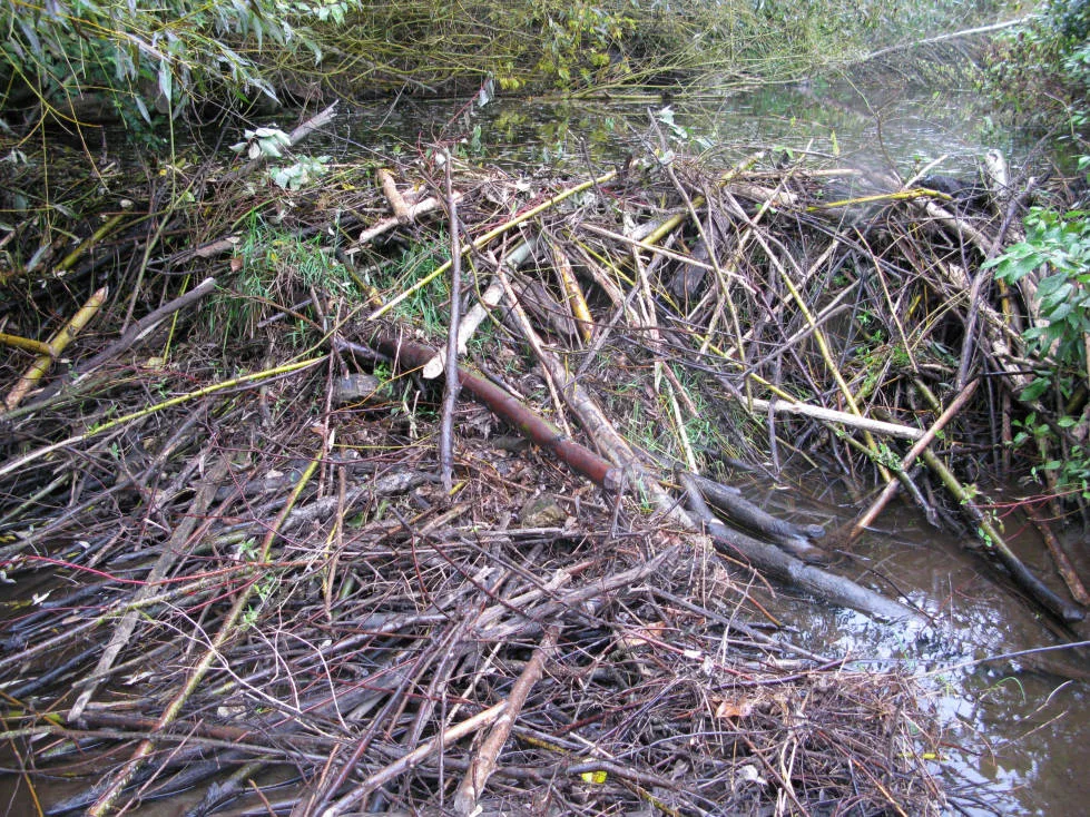
Documentary photograph: What Wetland Restoration Protects: Water, Habitat, and Decisions